File:A4127 Sudbury Court Drive - Geograph - 1653763.jpg
Jump to navigation
Jump to search

No higher resolution available.
A4127_Sudbury_Court_Drive_-_Geograph_-_1653763.jpg (640 × 480 pixels, file size: 80 KB, MIME type: image/jpeg)
| |||||||||||||||||||||||||
File history
Click on a date/time to view the file as it appeared at that time.
| Date/Time | Thumbnail | Dimensions | User | Comment | |
|---|---|---|---|---|---|
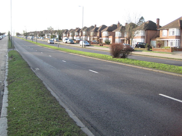
| current | 16:15, 4 May 2011 | | 640 × 480 (80 KB) | Si404 (talk | contribs) | '''A4127 Sudbury Court Drive'''<br/>This road appears, both on the ground and on the map, as if it ought to be one of the main arterial routes into and out of London with a through dual carriageway and outer parallel access roads to the housing estates on |
File usage
The following page uses this file: