File:Approaching Drogheda North Motorway Jct - Geograph - 313975.jpg
Jump to navigation
Jump to search

No higher resolution available.
Approaching_Drogheda_North_Motorway_Jct_-_Geograph_-_313975.jpg (640 × 426 pixels, file size: 80 KB, MIME type: image/jpeg)
| |||||||||||||||||||||||||
|
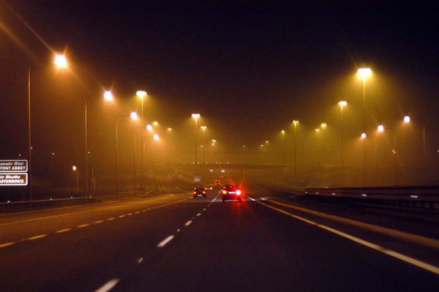
Galleries | M1 (Republic of Ireland) | Drogheda North Interchange | County Louth | Drogheda | ||
File history
Click on a date/time to view the file as it appeared at that time.
| Date/Time | Thumbnail | Dimensions | User | Comment | |
|---|---|---|---|---|---|
| current | 08:12, 18 September 2009 | | 640 × 426 (80 KB) | Abeaton (talk | contribs) | {{Information |description = Approaching Drogheda North Motorway Jct |day = 19 |month = 03 |year = 2005 |photographer = © Copyright [http://www.geograph.org.uk/profile/9685 Wilson Adams] and licensed for reuse under [http://creat |
File usage
The following 2 pages use this file: