File:Church St. Wellington (C) Gordon Cragg - Geograph - 1267450.jpg
Jump to navigation
Jump to search

No higher resolution available.
Church_St._Wellington_(C)_Gordon_Cragg_-_Geograph_-_1267450.jpg (640 × 480 pixels, file size: 273 KB, MIME type: image/jpeg)
| |||||||||||||||||||||||||
|
Galleries | A5223 (Wellington) | Telford | Wellington (Shropshire) | ||
File history
Click on a date/time to view the file as it appeared at that time.
| Date/Time | Thumbnail | Dimensions | User | Comment | |
|---|---|---|---|---|---|
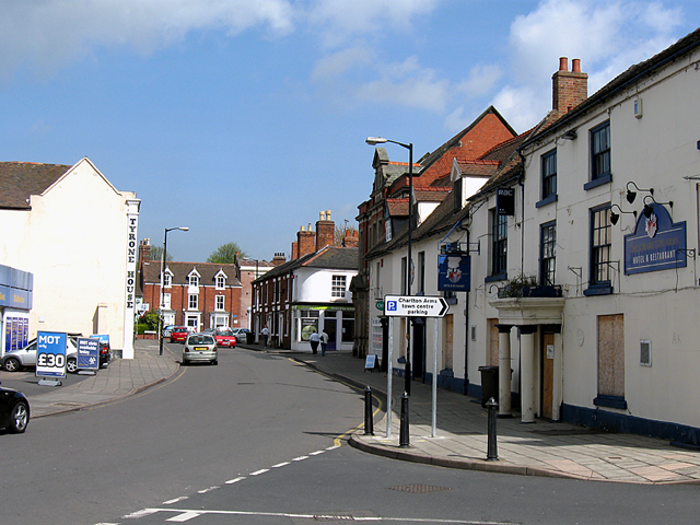
| current | 19:07, 19 October 2014 | | 640 × 480 (273 KB) | Vlad (talk | contribs) | '''Church St. Wellington (C) Gordon Cragg '''<br/>Church Street, Wellington looking North. The former Charlton Arms hotel is now closed and awaiting its fate, possibly to be converted into flats. |
File usage
The following 4 pages use this file:
_Gordon_Cragg_-_Geograph_-_1267450.jpg&oldid=489018)