File:Gresham Street, London EC2 (C) Christine Matthews - Geograph - 1088944.jpg
Jump to navigation
Jump to search

No higher resolution available.
Gresham_Street,_London_EC2_(C)_Christine_Matthews_-_Geograph_-_1088944.jpg (640 × 480 pixels, file size: 91 KB, MIME type: image/jpeg)
| |||||||||||||||||||||||||
|
Galleries | B128 | unclassified | The City | ||
File history
Click on a date/time to view the file as it appeared at that time.
| Date/Time | Thumbnail | Dimensions | User | Comment | |
|---|---|---|---|---|---|
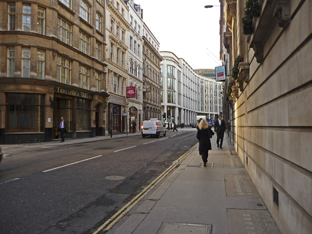
| current | 19:19, 7 December 2014 | | 640 × 480 (91 KB) | Vlad (talk | contribs) | '''Gresham Street, London EC2 (C) Christine Matthews '''<br/>Looking west down Gresham Street from the junction with Basinghall Street. |
File usage
The following 3 pages use this file:
_Christine_Matthews_-_Geograph_-_1088944.jpg&oldid=392115)