File:R183 road in Corryloan, Doohamlet, County Monaghan.jpg
Jump to navigation
Jump to search

Size of this preview: 800 × 450 pixels. Other resolution: 1,280 × 720 pixels.
Original file (1,280 × 720 pixels, file size: 404 KB, MIME type: image/jpeg)
| |||||||||||||||||||||||||
|
Galleries | R183 | ||
File history
Click on a date/time to view the file as it appeared at that time.
| Date/Time | Thumbnail | Dimensions | User | Comment | |
|---|---|---|---|---|---|
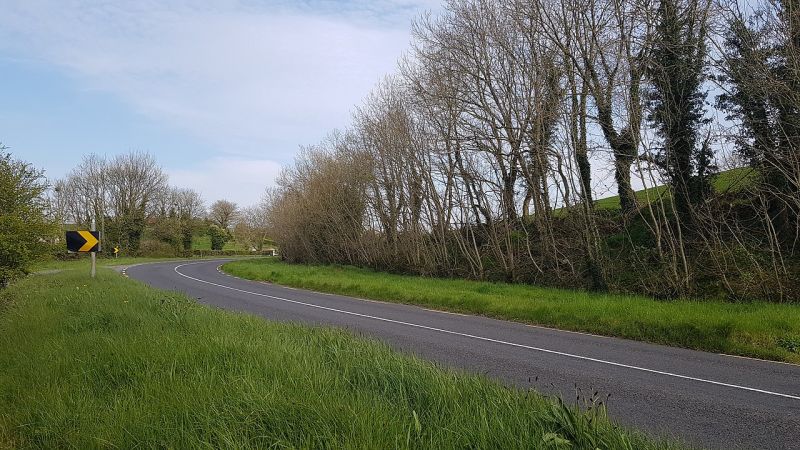
| current | 20:13, 3 September 2022 | | 1,280 × 720 (404 KB) | Dereer (talk | contribs) | A bend on the R183 road in Corryloan townland, near Doohamlet in County Monaghan, Ireland. The bend is located near a junction with the unsigned and unpaved L34302 road. |
File usage
There are no pages that use this file.