File:Threadneedle Street, London EC2 - Geograph - 1706594.jpg
Jump to navigation
Jump to search

Size of this preview: 450 × 600 pixels. Other resolution: 480 × 640 pixels.
Original file (480 × 640 pixels, file size: 94 KB, MIME type: image/jpeg)
| |||||||||||||||||||||||||
|
Galleries | A10 | Central London | The City | ||
File history
Click on a date/time to view the file as it appeared at that time.
| Date/Time | Thumbnail | Dimensions | User | Comment | |
|---|---|---|---|---|---|
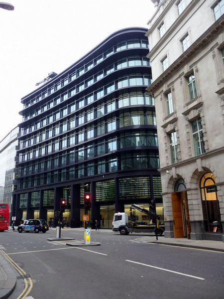
| current | 18:04, 27 July 2010 | | 480 × 640 (94 KB) | Si404 (talk | contribs) | '''Threadneedle Street, London EC2'''<br/>Looking down Threadneedle Street towards the junction with Old Broad Street. |
File usage
There are no pages that use this file.