Gallery:A477

From Roader's Digest: The SABRE Wiki
Jump to navigation Jump to search
A400-A499 > A477


This gallery has no child categories
A477
 
 
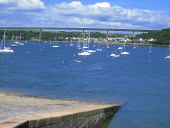
A477 Cleddau Bridge - Coppermine - 9800.jpg
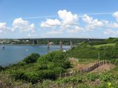
A477 Cleddau Bridge

A477 Cleddau Bridge, Milford Haven

Originally uploaded to Coppermine on Jan 16, 2007 by M4 Cardiff
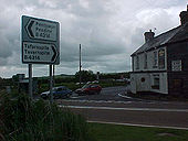
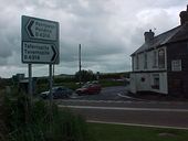
Red Roses, Pembrokeshire. - Coppermine - 1707.jpg
Red Roses, Pembrokeshire.

This junction by the inn used to be a totso for the A40, before it was rerouted to the north. Now it's a crossroads for the A477 and B4314. Note the curved pavement that cut the corner off a bit for primaeval A40 traffic.

Posted by Simon {A6(M)} on 9/19/2004

Originally uploaded to Coppermine on Apr 27, 2005 by M4Simon
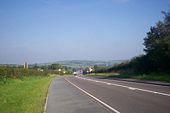
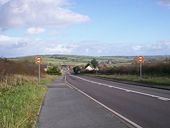
Looking Eastwards along A477 from Llanteg towards Red Roses.jpg
Looking Eastwards along A477 from Llanteg towards Red Roses
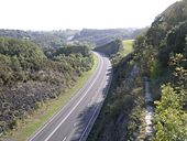
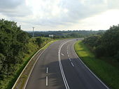
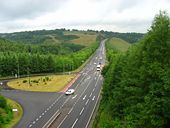
View from a bridge over the A477.jpg
View from a bridge over the A477
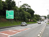
A477 Approaching Pembroke Dock.jpg
A477 Approaching Pembroke Dock
Approach To Waterloo Junctions, Pembroke Dock.jpg
Approach To Waterloo Junctions, Pembroke Dock
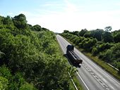
A477 trunk road from the bridge.jpg
A477 trunk road from the bridge
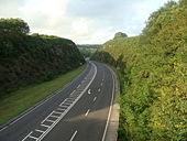
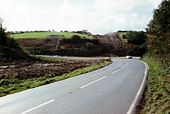
A477 trunk road cutting.jpg
A477 trunk road cutting
40 Miles through Llanteg.jpg
40 Miles through Llanteg
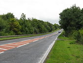
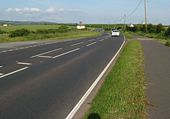
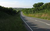
Trunk road.jpg
Trunk road
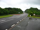
Trunk road by-passing Kilgetty.jpg
Trunk road by-passing Kilgetty
The A477 bypassing Redberth.jpg
The A477 bypassing Redberth
The Kilgetty and Stepaside by-pass (1).jpg
The Kilgetty and Stepaside by-pass (1)
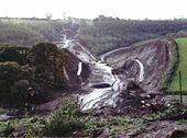
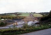
Construction of the Kilgetty by-pass (2).jpg
Construction of the Kilgetty by-pass (2)
Construction of the Kilgetty by-pass (3).jpg
Construction of the Kilgetty by-pass (3)
The A477 at the eastern turn for Jordanston.jpg
The A477 at the eastern turn for Jordanston
The A477.jpg
Looking north on the A477 at Hayston
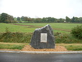
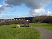
Farmland and monument near Upper Nash.jpg
Farmland and monument near Upper Nash
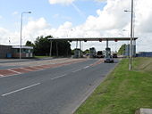
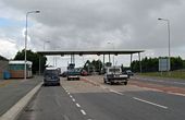
Cleddau Bridge Tollbooths - Geograph - 1416907.jpg
Cleddau Bridge Tollbooths
Toll booths on the Cleddau Bridge - Geograph - 848862.jpg
Toll booths on the Cleddau Bridge
Cleddau Bridge - Geograph - 508424.jpg
Cleddau Bridge
Cleddau Bridge - Geograph - 845071.jpg
Cleddau Bridge
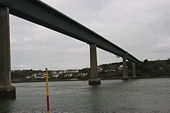
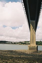
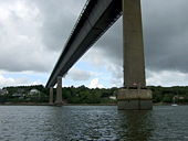
Under Cleddau Bridge - Geograph - 484566.jpg
Under Cleddau Bridge
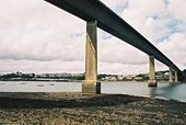
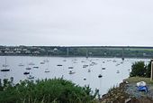
Cleddau Bridge and Milford Haven - Geograph - 484565.jpg
Cleddau Bridge and Milford Haven
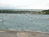
Cleddau Bridge from Hobbs Point - Geograph - 462763.jpg
Cleddau Bridge from Hobbs Point
Cleddau Toll Bridge - Geograph - 381283.jpg
Cleddau Toll Bridge
Cleddau Toll Bridge - Geograph - 1728.jpg
Cleddau Toll Bridge
Under the toll bridge - Geograph - 1430766.jpg
Under the toll bridge
Burton Ferry - End Of The Road - Geograph - 1416789.jpg
Burton Ferry - End Of The Road
Red Roses.JPG
Red Roses crossroads, now on A477: the B road to Tavernspite used to be the A40, which bore right past the pub on its way to Narberth. See 1923 OS map (Sabre Maps).
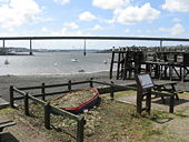
IMG 2030.JPG
A477 Cleddau Bridge with original ferry slip in the foreground
20220304 133231a.jpg
The A477 bridge over the Westfield Pill at Neyland Marina. Built in the 1970s together with the larger Cleddau Bridge.
CleddauBridge.jpg
A view along the Cleddau bridge taken from the surface of the centre of the carriageway.
 

SABRE - The Society for All British and Irish Road Enthusiasts
Discuss - Digest - Discover - Help