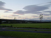
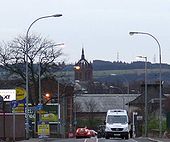
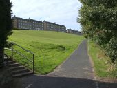
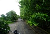
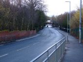
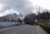
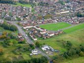
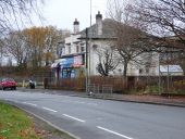
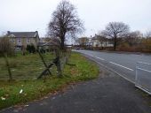
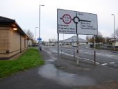
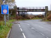
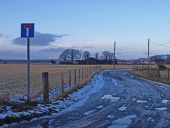
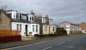
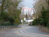
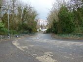
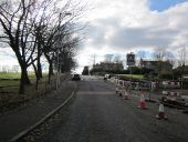
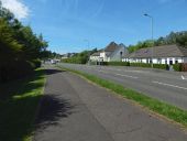
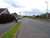
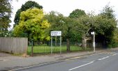
M8 slipway
Joining the M8 to the A737 road to Linwood.
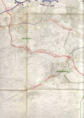
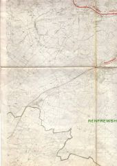
Glasgow Highway Plans circa 1965
Originally uploaded to Coppermine on Feb 21, 2006 by scynthius726
Glasgow Highway Plans circa 1965
Originally uploaded to Coppermine on Feb 21, 2006 by scynthius726
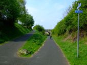
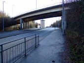
National Cycle Network Route 7 (C) Thomas Nugent
The bridge carries Green Road over the path.
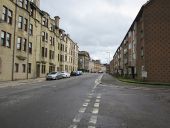
George Street, Paisley (C) Billy McCrorie
From the junction with Storie Street going towards Causeyside Street.
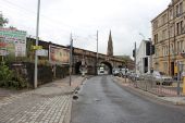
Underwood Road, Paisley From the junction with Caledonia Street.
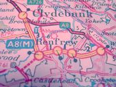
A8 (M)
1968 map of the A8(M) around Glasgow Airport
Originally uploaded to Coppermine on Apr 14, 2005 by Jonathan B4027
This page includes a scan of a non-free copyrighted map, and the copyright for it is most likely held by the company or person that produced the map. It is believed that the use of a limited number of web-resolution scans qualifies as fair use under United States copyright law, where this web page is hosted, as such display does not significantly impede the right of the copyright holder to sell the copyrighted material, is not being used to generate profit in this context, and presents information that cannot be exhibited otherwise.
If the copyright holder considers this is an infringement of their rights, please contact the Site Management Team to discuss further steps.
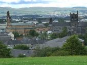
Paisley from Saucel Hill. The Town Hall, Paisley Abbey and the M8 White Cart Viaduct are visible, with Clydebank in the distance.
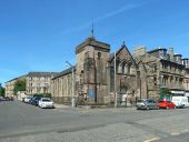
Martyrs' Sandyford Church The church is at the corner of King Street (shown receding on the left) and Broomlands Street.
King Street bridge Carries King Street over the B7050 in the west end of Paisley.
King Street Looking towards Douglas Street and the Glasgow to Ayr railway line.
King Street, Paisley Looking south east from the junction with McKenzie Street and Blackstoun Road, towards the railway bridge.
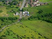
Blackstoun Road from the air Viewed just after taking off from Glasgow Airport.
Blackstoun Road from the air The bridge carried the 'Dummy Railway'. On the outskirts of Ferguslie Park.
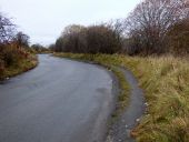
Blackstoun Road The road twists and turns as it leaves Ferguslie Park.
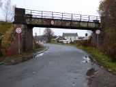
Blackstoun Road railway bridge The bridge was built for the long gone Paisley and Barrhead District Railway line (known locally as the Dummy Line). It was used as recently as the 1980s as a spur for the car factory at Linwood which closed at that time. Prior to the car factory, it also served as a spur for the Pressed Steel factory at Linwood which produced the 'blue trains' (Class 303), which were the first electric trains for the north and south Clyde lines in the 1960s.
South Candren farm can be seen through the bridge.
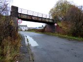
Blackstoun Road railway bridge The bridge was built for the long gone Paisley and Barrhead District Railway line (known locally as the Dummy Line) . It was used as recently as the 1980s as a spur for the car factory at Linwood which closed at that time. Prior to the car factory, it also served as a spur for the Pressed Steel factory at Linwood which produced the 'blue trains' (Class 303), which were the first electric trains for the north and south Clyde lines in the 1960s.
Blackstoun Road Looking into Ferguslie Park from South Candren Farm.
Shops on Blackstoun Road Now quite detached from the rest of the built-up area of Ferguslie Park since the old Craiegilea Primary School was demolished.
Blackstoun Road Heading out of erguslie Park at South Candren Farm.
Ferguslie Park Avenue A roundabout at Blackstoun Road (runs left to right), with the Tannahill Centre in the background and police station on the left.
Blackstoun Road railway bridge The bridge was built for the long gone Paisley and Barrhead District Railway line (known locally as the Dummy Line).
Blackstone Road leading to Blackstoun Farm Nearer Ferguslie Park this road seems to change its name to Blackstoun Road. Candrens Farm in the trees ctr.
Calside Looking towards High Calside.
Neilston Road at Calside Neilston Road is to the left, Calside is on the right.
Park Road Looking down the hill to Calside.
Park Road Looking down the hill to Calside.
Mcintyre Place Mcintyre Place is to the left, through the gate, Westlands Gardens is straight ahead, through the gate. Off Calside, at the lower of the two steep bends.
Calside At Alice Street, which is on the right.
Calside Looking towards Neilston Road and Causeyside Street.
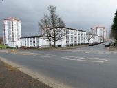
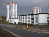
Calside The recently recladded white buildings (they were previously grey and brown) stand out against the grey February sky, which was dull enough at mid day to trigger the streetlights to switch on. The towerblocks are Hamilton Court (on the left) and Union Court.
Calside at Causeyside Street Stevenson Street is on the left, Neilston Road on the right. Calside in the foreground.
Calside Looking towards Neilston Road.
Park Road at Stanely Road Park Road is on the right.
Park Road The Glasgow & South Western Railway Potterhill branch used to cross the road on a bridge at this point.
Donaldswood Road, Paisley The road takes its name from Donalds Wood, a portion of which remains, although the southern part of it was cleared to make way for the houses shown to the right (north) of the road. The trees visible behind those houses are part of that wood.
Bus stop on Donaldswood Road
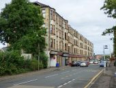
Love Street At Fountain Gardens.
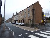
Love Street Love Street is to the left, Albion Street to the right.
Love Street The tenement building on the west side of the street, near Fountain Gardens.
Love Street Note the remains of a demolished building shoring up what is now a gable end. There are other examples of this practice on this stretch of the street.
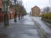
Love Street The pedestrianised section in the foreground was created when the south end of the street was diverted when the ring road was created.
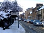
Love Street Glasgow Airport was open despite the snow - but most flights were cancelled.
