File:Bell's Lane - Geograph - 1698517.jpg
Jump to navigation
Jump to search

No higher resolution available.
Bell's_Lane_-_Geograph_-_1698517.jpg (640 × 427 pixels, file size: 70 KB, MIME type: image/jpeg)
| |||||||||||||||||||||||||
|
Galleries | B6008 | ||
File history
Click on a date/time to view the file as it appeared at that time.
| Date/Time | Thumbnail | Dimensions | User | Comment | |
|---|---|---|---|---|---|
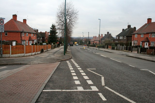
| current | 19:30, 31 July 2016 | | 640 × 427 (70 KB) | Vlad (talk | contribs) | '''Bell's Lane''' Looking north from the junction with Dulverton Vale. |
File usage
The following 2 pages use this file: