File:Bradda East (C) Andy Stephenson - Geograph - 2335.jpg
Jump to navigation
Jump to search

No higher resolution available.
Bradda_East_(C)_Andy_Stephenson_-_Geograph_-_2335.jpg (640 × 401 pixels, file size: 91 KB, MIME type: image/jpeg)
| |||||||||||||||||||||||||
|
Galleries | A32 (Isle of Man) | B34 (Port Erin - Ballafesson) | ||
File history
Click on a date/time to view the file as it appeared at that time.
| Date/Time | Thumbnail | Dimensions | User | Comment | |
|---|---|---|---|---|---|
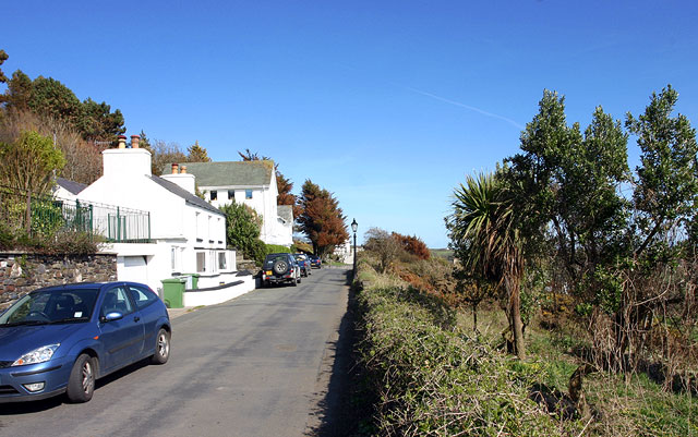
| current | 11:55, 18 June 2013 | | 640 × 401 (91 KB) | Si404 (talk | contribs) | '''Bradda East (C) Andy Stephenson '''<br/>Looking east along the A32. This south-facing area catches a great deal of sunshine! |
File usage
The following 4 pages use this file:
_Andy_Stephenson_-_Geograph_-_2335.jpg&oldid=681050)