File:Broadoak Level Crossing (C) Jeff Buck - Geograph - 3362698.jpg
Jump to navigation
Jump to search

No higher resolution available.
Broadoak_Level_Crossing_(C)_Jeff_Buck_-_Geograph_-_3362698.jpg (640 × 427 pixels, file size: 93 KB, MIME type: image/jpeg)
| |||||||||||||||||||||||||
|
Galleries | Level Crossing | ||
File history
Click on a date/time to view the file as it appeared at that time.
| Date/Time | Thumbnail | Dimensions | User | Comment | |
|---|---|---|---|---|---|
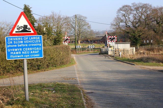
| current | 14:05, 23 October 2013 | | 640 × 427 (93 KB) | Glen (talk | contribs) | '''Broadoak Level Crossing (C) Jeff Buck '''<br/>The Shrewsbury-Chester railway line crossing Cobblers Lane at Broadoak. |
File usage
The following page uses this file:
_Jeff_Buck_-_Geograph_-_3362698.jpg&oldid=355747)