File:Broomstair Bridge (C) Gerald England - Geograph - 3694927.jpg
Jump to navigation
Jump to search

No higher resolution available.
Broomstair_Bridge_(C)_Gerald_England_-_Geograph_-_3694927.jpg (640 × 488 pixels, file size: 92 KB, MIME type: image/jpeg)
| |||||||||||||||||||||||||
|
Galleries | A57 | Broomstair Bridge | ||
File history
Click on a date/time to view the file as it appeared at that time.
| Date/Time | Thumbnail | Dimensions | User | Comment | |
|---|---|---|---|---|---|
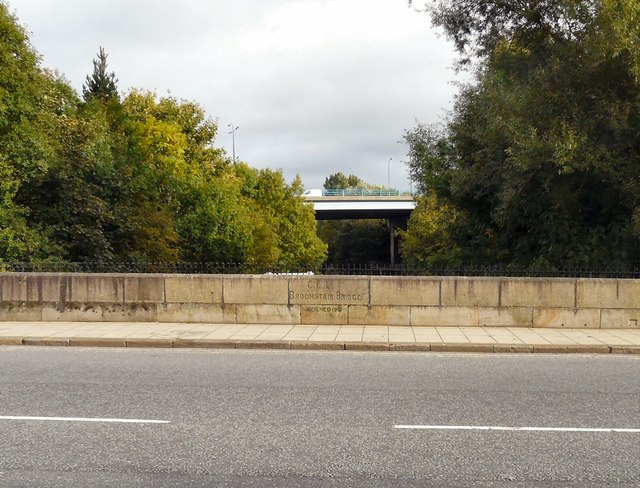
| current | 10:41, 31 October 2014 | | 640 × 488 (92 KB) | Jeni (talk | contribs) | '''Broomstair Bridge (C) Gerald England '''<br/>The bridge carries the A57 over the river Tame at the former boundary between Cheshire and Lancashire. In the background is the bridge carrying the M67 motorway. The bridge was widened in 1910 <a href="ht... |
File usage
The following page uses this file:
_Gerald_England_-_Geograph_-_3694927.jpg&oldid=389978)