File:Floods at Old Dromore Road, Omagh - Geograph - 1080597.jpg
Jump to navigation
Jump to search

No higher resolution available.
Floods_at_Old_Dromore_Road,_Omagh_-_Geograph_-_1080597.jpg (640 × 410 pixels, file size: 42 KB, MIME type: image/jpeg)
| |||||||||||||||||||||||||
|
Galleries | A32 (Northern Ireland) | T10 (Northern Ireland) | South Sperrins Scenic Driving Route | Omagh | ||
File history
Click on a date/time to view the file as it appeared at that time.
| Date/Time | Thumbnail | Dimensions | User | Comment | |
|---|---|---|---|---|---|
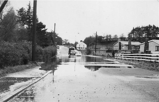
| current | 00:40, 15 March 2010 | | 640 × 410 (42 KB) | Jeni (talk | contribs) | '''Floods at Old Dromore Road, Omagh'''<br/>It just seems like yesterday! |
File usage
The following 5 pages use this file: