File:Geograph-2930810-by-Robin-Stott.jpg
Jump to navigation
Jump to search

No higher resolution available.
Geograph-2930810-by-Robin-Stott.jpg (640 × 480 pixels, file size: 64 KB, MIME type: image/jpeg)
| |||||||||||||||||||||||||
|
Galleries | B4480 | unclassified | ||
File history
Click on a date/time to view the file as it appeared at that time.
| Date/Time | Thumbnail | Dimensions | User | Comment | |
|---|---|---|---|---|---|
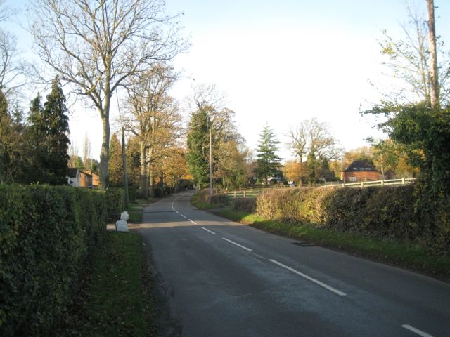
| current | 19:22, 22 April 2016 | | 640 × 480 (64 KB) | Vlad (talk | contribs) | '''Ullenhall Lane approaching Ullenhall'''<br/>Ullenhall Lane has a suburban character on the southeast side of the village. Over the hedge, right, are paddocks adjoining Mount Pleasant Farm. |
File usage
The following page uses this file: