File:Harbour Street (C) Billy McCrorie - Geograph - 2485905.jpg
Jump to navigation
Jump to search

No higher resolution available.
Harbour_Street_(C)_Billy_McCrorie_-_Geograph_-_2485905.jpg (640 × 480 pixels, file size: 67 KB, MIME type: image/jpeg)
| |||||||||||||||||||||||||
File history
Click on a date/time to view the file as it appeared at that time.
| Date/Time | Thumbnail | Dimensions | User | Comment | |
|---|---|---|---|---|---|
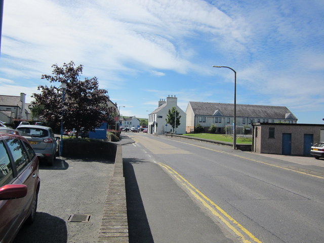
| current | 20:59, 23 March 2014 | | 640 × 480 (67 KB) | Vlad (talk | contribs) | '''Harbour Street (C) Billy McCrorie '''<br/>Building on centre right is local tourist information office. Car park on left is for Tesco Metro. |
_Billy_McCrorie_-_Geograph_-_2485905.jpg&oldid=368122)