File:Main Street, Monkton (C) M J Richardson - Geograph - 1930681.jpg
Jump to navigation
Jump to search

No higher resolution available.
Main_Street,_Monkton_(C)_M_J_Richardson_-_Geograph_-_1930681.jpg (640 × 480 pixels, file size: 70 KB, MIME type: image/jpeg)
| |||||||||||||||||||||||||
|
Galleries | A778 | unclassified | ||
File history
Click on a date/time to view the file as it appeared at that time.
| Date/Time | Thumbnail | Dimensions | User | Comment | |
|---|---|---|---|---|---|
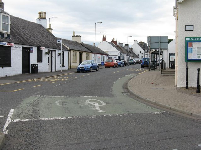
| current | 20:29, 31 March 2014 | | 640 × 480 (70 KB) | Vlad (talk | contribs) | '''Main Street, Monkton (C) M J Richardson '''<br/>Looking north from the junction with Kilmarnock and Station Roads [B739]. |
File usage
The following page uses this file:
_M_J_Richardson_-_Geograph_-_1930681.jpg&oldid=369560)