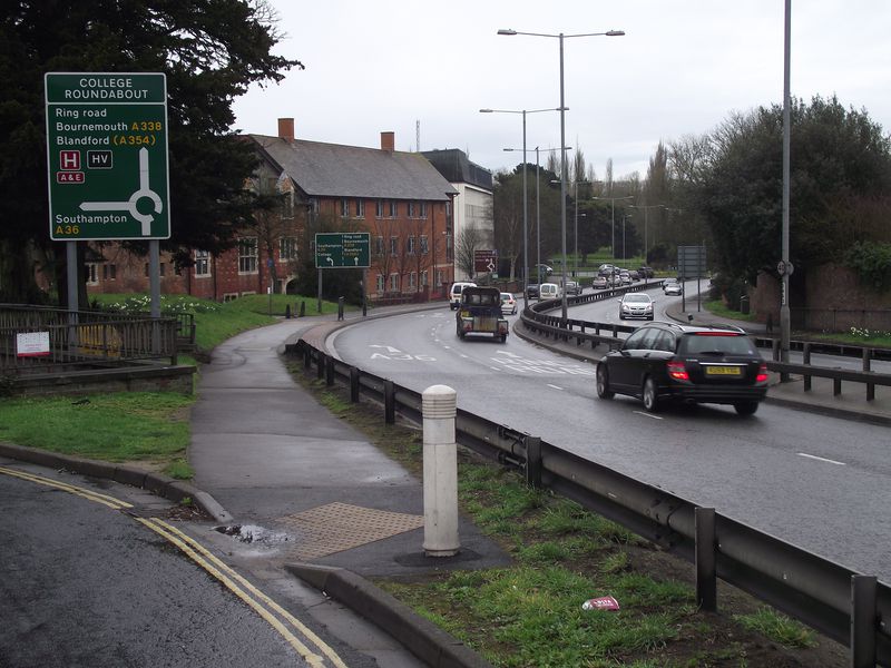
A36 Churchill way south in Salisbury on a wet spring morning..The ring road was built in the early 1970s and a lot of fine old houses were demolished in its path..
A36 Churchill way south in Salisbury on a wet spring morning..The ring road was built in the early 1970s and a lot of fine old houses were demolished in its path..

