File:Road to North Fawdon - Geograph - 1645419.jpg
Jump to navigation
Jump to search

No higher resolution available.
Road_to_North_Fawdon_-_Geograph_-_1645419.jpg (640 × 480 pixels, file size: 59 KB, MIME type: image/jpeg)
| |||||||||||||||||||||||||
|
Galleries | C105 (Newcastle upon Tyne) | Newcastle upon Tyne | ||
File history
Click on a date/time to view the file as it appeared at that time.
| Date/Time | Thumbnail | Dimensions | User | Comment | |
|---|---|---|---|---|---|
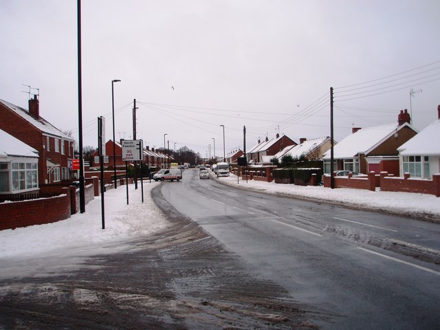
| current | 09:52, 20 September 2018 | | 640 × 480 (59 KB) | Gc a690 (talk | contribs) | '''Road to North Fawdon''' This photograph shows the road to North Fawdon after a recent fall of snow. The snow-laden road going off to the left in the foreground of the picture is Park Avenue. The picture was taken looking in a north-north-westerly... |
File usage
The following 2 pages use this file: