File:South Nitshill (C) wfmillar - Geograph - 2848364.jpg
Jump to navigation
Jump to search

No higher resolution available.
South_Nitshill_(C)_wfmillar_-_Geograph_-_2848364.jpg (640 × 480 pixels, file size: 58 KB, MIME type: image/jpeg)
| |||||||||||||||||||||||||
|
Galleries | B773 | ||
File history
Click on a date/time to view the file as it appeared at that time.
| Date/Time | Thumbnail | Dimensions | User | Comment | |
|---|---|---|---|---|---|
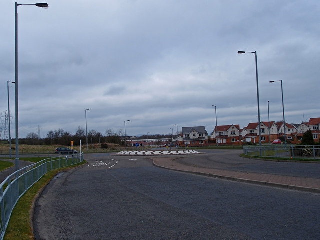
| current | 20:19, 6 November 2013 | | 640 × 480 (58 KB) | Vlad (talk | contribs) | '''South Nitshill (C) wfmillar '''<br/>Looking towards a roundabout on the B773 Parkhouse Road. This area is covered in new housing. |
File usage
The following 2 pages use this file:
_wfmillar_-_Geograph_-_2848364.jpg&oldid=358081)