File:St Barnabas (C) Shaun Ferguson - Geograph - 985112.jpg
Jump to navigation
Jump to search

No higher resolution available.
St_Barnabas_(C)_Shaun_Ferguson_-_Geograph_-_985112.jpg (640 × 480 pixels, file size: 63 KB, MIME type: image/jpeg)
| |||||||||||||||||||||||||
File history
Click on a date/time to view the file as it appeared at that time.
| Date/Time | Thumbnail | Dimensions | User | Comment | |
|---|---|---|---|---|---|
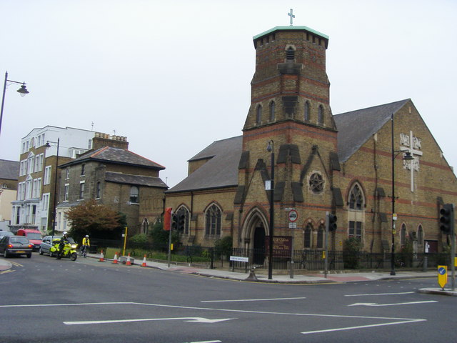
| current | 20:56, 6 December 2014 | | 640 × 480 (63 KB) | Vlad (talk | contribs) | '''St Barnabas (C) Shaun Ferguson '''<br/>St Barnabas parish church on Grove road |
File usage
The following 3 pages use this file:
_Shaun_Ferguson_-_Geograph_-_985112.jpg&oldid=392059)