File:Teignmouth and Shaldon Bridge - Geograph - 1332279.jpg
Jump to navigation
Jump to search

No higher resolution available.
Teignmouth_and_Shaldon_Bridge_-_Geograph_-_1332279.jpg (640 × 486 pixels, file size: 86 KB, MIME type: image/jpeg)
| |||||||||||||||||||||||||
|
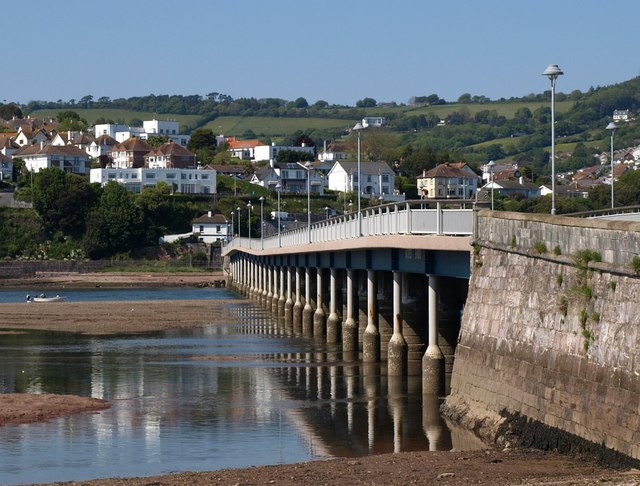
Galleries | a379 | Teignmouth and Shaldon Bridge | ||
File history
Click on a date/time to view the file as it appeared at that time.
| Date/Time | Thumbnail | Dimensions | User | Comment | |
|---|---|---|---|---|---|
| current | 14:33, 5 May 2010 | | 640 × 486 (86 KB) | Bob@romiley1 (talk | contribs) | '''Teignmouth and Shaldon Bridge'''<br/>The upstream side of <a href="http://www.geograph.org.uk/photo/1332244">SX9372 : Teignmouth and Shaldon Bridge</a>, seen from The Embankment, Shaldon. |
File usage
The following 2 pages use this file: