File:The Collin Road near the Battery - Geograph - 327589.jpg
Jump to navigation
Jump to search

No higher resolution available.
The_Collin_Road_near_the_Battery_-_Geograph_-_327589.jpg (640 × 426 pixels, file size: 146 KB, MIME type: image/jpeg)
| |||||||||||||||||||||||||
|
Galleries | B94 (Northern Ireland) | ||
File history
Click on a date/time to view the file as it appeared at that time.
| Date/Time | Thumbnail | Dimensions | User | Comment | |
|---|---|---|---|---|---|
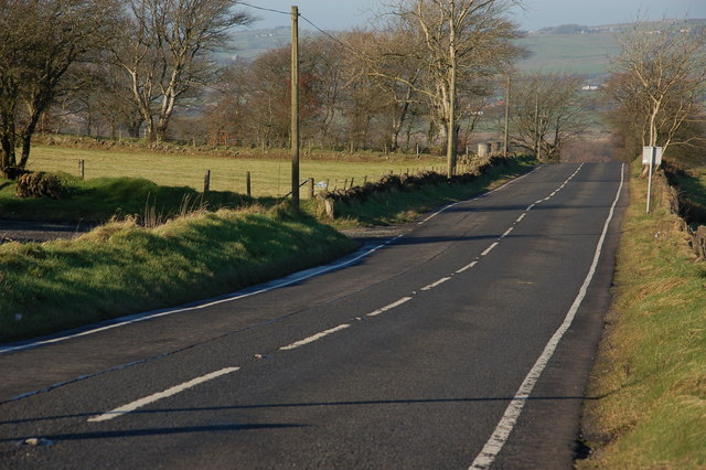
| current | 20:27, 27 January 2017 | | 640 × 426 (146 KB) | Vlad (talk | contribs) | '''The Collin Road near the Battery''' The Collin Road runs from Ballyclare towards the crossroads at the Battery. Much of the line is over high ground. This is the view of the road as it starts to drop towards the Battery. There is a convenient pi... |
File usage
The following page uses this file: