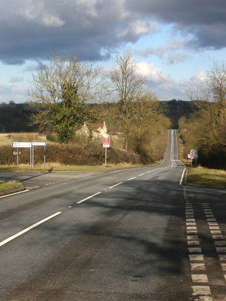
File:The Fosse Way, Walton left, Pillerton Priors right - Geograph - 1701944.jpg
Jump to navigation
Jump to search

Size of this preview: 451 × 599 pixels. Other resolution: 482 × 640 pixels.
Original file (482 × 640 pixels, file size: 77 KB, MIME type: image/jpeg)
| |||||||||||||||||||||||||
File history
Click on a date/time to view the file as it appeared at that time.
| Date/Time | Thumbnail | Dimensions | User | Comment | |
|---|---|---|---|---|---|
| current | 23:58, 5 March 2010 | | 482 × 640 (77 KB) | Jeni (talk | contribs) | The Fosse Way, Walton left, Pillerton Priors right |
File usage
The following page uses this file: