File:Top of Castle Street, Thornbury- 2 (C) Robin Stott - Geograph - 2084656.jpg
Jump to navigation
Jump to search

No higher resolution available.
Top_of_Castle_Street,_Thornbury-_2_(C)_Robin_Stott_-_Geograph_-_2084656.jpg (640 × 480 pixels, file size: 338 KB, MIME type: image/jpeg)
| |||||||||||||||||||||||||
|
Galleries | B4061 | ||
File history
Click on a date/time to view the file as it appeared at that time.
| Date/Time | Thumbnail | Dimensions | User | Comment | |
|---|---|---|---|---|---|
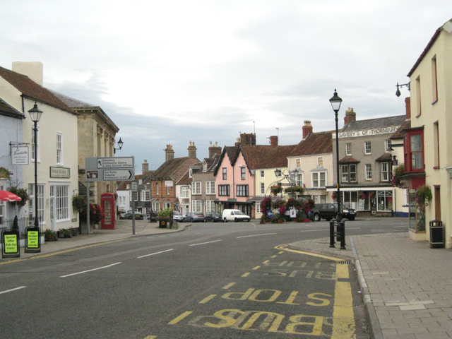
| current | 16:01, 9 November 2013 | | 640 × 480 (338 KB) | Vlad (talk | contribs) | '''Top of Castle Street, Thornbury- 2 (C) Robin Stott '''<br/>Looking from the bottom of High Street B4061, with The Plain (a town-centre Z-bend) round to the right. |
File usage
The following 2 pages use this file:
_Robin_Stott_-_Geograph_-_2084656.jpg&oldid=358343)