File:Town Bridge, Godalming - Geograph - 634438.jpg
Jump to navigation
Jump to search

No higher resolution available.
Town_Bridge,_Godalming_-_Geograph_-_634438.jpg (640 × 480 pixels, file size: 135 KB, MIME type: image/jpeg)
| |||||||||||||||||||||||||
|
Galleries | A3100 | Town Bridge (Godalming) | ||
File history
Click on a date/time to view the file as it appeared at that time.
| Date/Time | Thumbnail | Dimensions | User | Comment | |
|---|---|---|---|---|---|
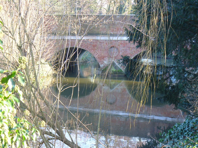
| current | 17:59, 31 May 2010 | | 640 × 480 (135 KB) | Bob@romiley1 (talk | contribs) | '''Town Bridge, Godalming'''<br/>Brick bridge over the River Wey which carries the main road north from the borough centre. The 5-arched bridge was built in 1782 and widened in 1930. |
File usage
The following 2 pages use this file: