File:Waterworks Corner original plan.png
Jump to navigation
Jump to search

No higher resolution available.
Waterworks_Corner_original_plan.png (720 × 516 pixels, file size: 63 KB, MIME type: image/png)
| |||||||||||||||||||||||||
|
Galleries | A406 | A104 | A503 | Waterworks Corner | ||
File history
Click on a date/time to view the file as it appeared at that time.
| Date/Time | Thumbnail | Dimensions | User | Comment | |
|---|---|---|---|---|---|
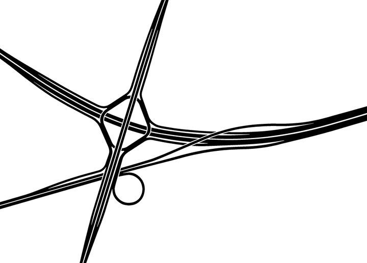
| current | 17:05, 21 January 2015 | | 720 × 516 (63 KB) | Truvelo (talk | contribs) | The original 1960s plan for Waterworks Corner was to have more freeflow than what was eventually built |
File usage
The following 3 pages use this file: