Gallery:A98

From Roader's Digest: The SABRE Wiki
Jump to navigation Jump to search
A1-A99 > A98


This gallery has no child categories
A98
 
 
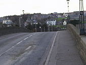
A98 Deveron Bridge - Coppermine - 9301.jpg
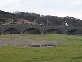
Side view of the A98 Deveron Bridge

This is the view from Banff of the Deveron Bridge, part of the A98, which links the historic fishing towns (and sworn enemies!) of Banff and Macduff.

Originally uploaded to Coppermine on Nov 22, 2006 by SuperLez
A98 Deveron Bridge - Coppermine - 9300.jpg
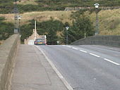
View over the A98 Deveron Bridge from the Banff side Originally uploaded to Coppermine on Nov 22, 2006 by SuperLez
A98 Deveron Bridge - Coppermine - 9298.jpg
A98 Deveron Bridge from Macduff side Originally uploaded to Coppermine on Nov 22, 2006 by SuperLez
Macduff, here we come! - Coppermine - 9297.jpg
Macduff, here we come! Originally uploaded to Coppermine on Nov 22, 2006 by SuperLez
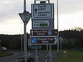
A98 A947 junction - Coppermine - 9296.jpg
The junction with the A947 Originally uploaded to Coppermine on Nov 22, 2006 by SuperLez
Towards Macduff - Coppermine - 9295.jpg
Towards Macduff

This is the view of the A98 heading for Macduff later terminating in Fraserburgh(A90).

Originally uploaded to Coppermine on Nov 22, 2006 by SuperLez
Approach to Banff - Coppermine - 9294.jpg
Approach to Banff

View of the A98 heading for Banff from the Deveron Bridge. The road runs through Portsoy and Cullen before terminating at a roundabout in Fochabers(A96)

Originally uploaded to Coppermine on Nov 22, 2006 by SuperLez
Welcome to Banff - Coppermine - 9293.jpg
Welcome to Banff Originally uploaded to Coppermine on Nov 22, 2006 by SuperLez
River Deveron - Coppermine - 9292.jpg
River Deveron

Now you know why the bridge got its name!

Originally uploaded to Coppermine on Nov 22, 2006 by SuperLez
A98 near Craigmaud - Geograph - 538674.jpg
A98 near Craigmaud
Banff Bridge - Geograph - 1762738.jpg
Banff Bridge
The elegant seven-arched bridge over the River Deveron is a Category 'A' listed building. It was designed by John Smeaton to replace an earlier bridge washed away in 1768. Originally built in 1779, it was widened in 1881 by engineer John Willett. It carries the main A98 and is always busy with traffic, as shown in this view.
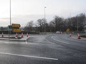
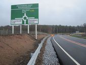
Fochabers East Roundabout 2.jpg
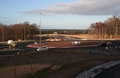
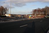
Fochabers East Roundabout on the A96 and A98 with temporary direction signs, prior to the opening of the Fochabers bypass
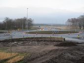
Fochabers East Roundabout 3.jpg
Fochabers East Roundabout on the A96 and A98, prior to the full opening of the Fochabers bypass
Fochabers - Geograph - 2742066.jpg
Fochabers
Fochabers Bypass, Winter 2011 - Geograph - 2742057.jpg
Fochabers Bypass, Winter 2011
Roundabouts Rule OK! - Geograph - 2742053.jpg
Roundabouts Rule OK!
Fochabers East Roundabout 1.jpg
Approaching Fochabers East Roundabout on the A96 Fochabers Bypass
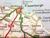
Fraserburgh-bypass.jpg
Fraserburgh in 1993 showing primary route bypass of town centre along Boothby Road. Road number unknown

Extract from Readers Digest Drivers Atlas of The British Isles 1993 edition This page includes a scan of a non-free copyrighted map, and the copyright for it is most likely held by the company or person that produced the map. It is believed that the use of a limited number of web-resolution scans qualifies as fair use under United States copyright law, where this web page is hosted, as such display does not significantly impede the right of the copyright holder to sell the copyrighted material, is not being used to generate profit in this context, and presents information that cannot be exhibited otherwise.
If the copyright holder considers this is an infringement of their rights, please contact the Site Management Team to discuss further steps.
 

SABRE - The Society for All British and Irish Road Enthusiasts
Discuss - Digest - Discover - Help