File:A28 Canterbury Road bridge over the... (C) David Anstiss - Geograph - 1773045.jpg
Jump to navigation
Jump to search

No higher resolution available.
A28_Canterbury_Road_bridge_over_the..._(C)_David_Anstiss_-_Geograph_-_1773045.jpg (640 × 480 pixels, file size: 64 KB, MIME type: image/jpeg)
| |||||||||||||||||||||||||
|
Galleries | A28 | Godmersham Bridge | ||
File history
Click on a date/time to view the file as it appeared at that time.
| Date/Time | Thumbnail | Dimensions | User | Comment | |
|---|---|---|---|---|---|
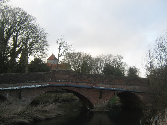
| current | 17:08, 31 October 2014 | | 640 × 480 (64 KB) | Jeni (talk | contribs) | '''A28 Canterbury Road bridge over the... (C) David Anstiss '''<br/>As seen from a footpath south of the river. St Lawrence's church is in the background. |
File usage
The following page uses this file:
_David_Anstiss_-_Geograph_-_1773045.jpg&oldid=390113)