File:A 27 road, by Cringle plantation, Isle... (C) kevin rothwell - Geograph - 117378.jpg
Jump to navigation
Jump to search

No higher resolution available.
A_27_road,_by_Cringle_plantation,_Isle..._(C)_kevin_rothwell_-_Geograph_-_117378.jpg (640 × 480 pixels, file size: 59 KB, MIME type: image/jpeg)
| |||||||||||||||||||||||||
|
Galleries | A27 (Isle of Man) | ||
File history
Click on a date/time to view the file as it appeared at that time.
| Date/Time | Thumbnail | Dimensions | User | Comment | |
|---|---|---|---|---|---|
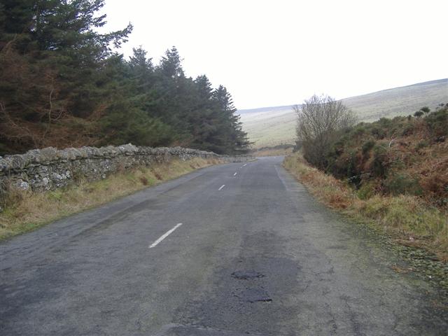
| current | 10:01, 19 June 2013 | | 640 × 480 (59 KB) | Si404 (talk | contribs) | '''A 27 road, by Cringle plantation, Isle... (C) kevin rothwell '''<br/>On the West side of the plantation looking South. |
File usage
The following page uses this file:
_kevin_rothwell_-_Geograph_-_117378.jpg&oldid=348146)