File:Between Thriplow and Fowlmere - Geograph - 5222196.jpg
Jump to navigation
Jump to search

Size of this preview: 480 × 600 pixels. Other resolution: 512 × 640 pixels.
Original file (512 × 640 pixels, file size: 163 KB, MIME type: image/jpeg)
| |||||||||||||||||||||||||
|
Galleries | C262 (Cambridgeshire) | Cambridgeshire | ||
File history
Click on a date/time to view the file as it appeared at that time.
| Date/Time | Thumbnail | Dimensions | User | Comment | |
|---|---|---|---|---|---|
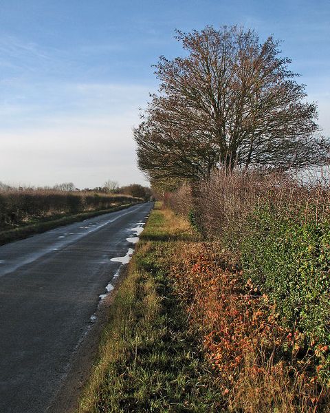
| current | 00:12, 7 December 2017 | | 512 × 640 (163 KB) | C2r (talk | contribs) | '''Between Thriplow and Fowlmere''' This is Thriplow Road in Fowlmere (ahead), Fowlmere Road in Thriplow and perhaps neither one nor the other here, about half way between the two villages. |
File usage
The following 2 pages use this file: