File:Borris-in-Ossary, County Laois - Geograph - 1846138.jpg
Jump to navigation
Jump to search

No higher resolution available.
Borris-in-Ossary,_County_Laois_-_Geograph_-_1846138.jpg (640 × 353 pixels, file size: 43 KB, MIME type: image/jpeg)
| |||||||||||||||||||||||||
|
Galleries | R435 | ||
File history
Click on a date/time to view the file as it appeared at that time.
| Date/Time | Thumbnail | Dimensions | User | Comment | |
|---|---|---|---|---|---|
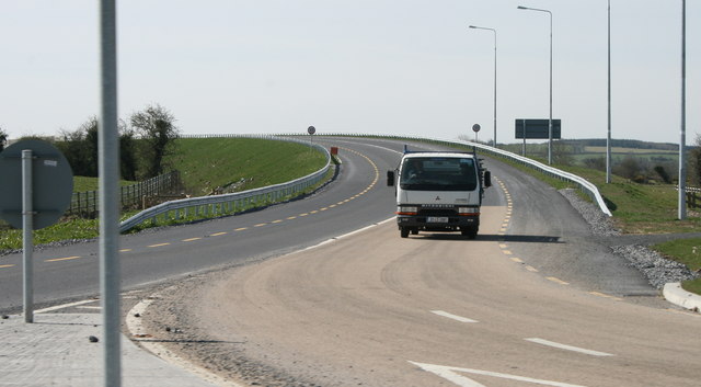
| current | 19:07, 11 May 2016 | | 640 × 353 (43 KB) | C2r (talk | contribs) | '''Borris-in-Ossary, County Laois''' At a new roundabout at the western end of Borris the re-routed R435 joins the N7. It is part of the works to link to an M7 section under construction. |
File usage
The following 2 pages use this file: