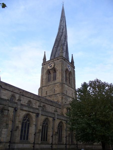
File:Church of the crooked spire (Church of Our Lady & All Saints ) - Geograph - 1066918.jpg
Jump to navigation
Jump to search

Size of this preview: 450 × 600 pixels. Other resolution: 480 × 640 pixels.
Original file (480 × 640 pixels, file size: 57 KB, MIME type: image/jpeg)
| |||||||||||||||||||||||||
|
Galleries | Chesterfield | ||
File history
Click on a date/time to view the file as it appeared at that time.
| Date/Time | Thumbnail | Dimensions | User | Comment | |
|---|---|---|---|---|---|
| current | 10:06, 9 November 2009 | | 480 × 640 (57 KB) | Abeaton (talk | contribs) | {{Information |description = Church of the crooked spire (Church of Our Lady & All Saints ) |day = 28 |month = 10 |year = 2008 |photographer = © Copyright [http://www.geograph.org.uk/profile/11579 Graeme Walker] and licensed for |
File usage
The following 2 pages use this file:
_-_Geograph_-_1066918.jpg&oldid=95590)