File:Geograph-2681448-by-Derek-Harper.jpg
Jump to navigation
Jump to search

No higher resolution available.
Geograph-2681448-by-Derek-Harper.jpg (640 × 480 pixels, file size: 75 KB, MIME type: image/jpeg)
| |||||||||||||||||||||||||
File history
Click on a date/time to view the file as it appeared at that time.
| Date/Time | Thumbnail | Dimensions | User | Comment | |
|---|---|---|---|---|---|
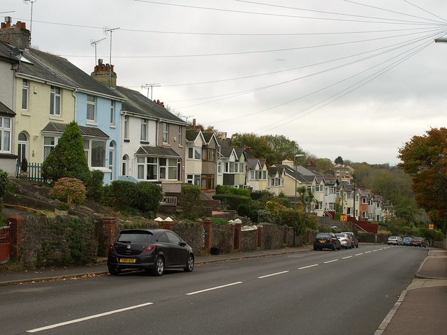
| current | 20:28, 14 December 2015 | | 640 × 480 (75 KB) | Vlad (talk | contribs) | '''Westhill Road, Torquay'''<br/>A steep hill and terraces of houses dropping down what used to be called Black's Hill. |