File:Green Dragon Lane at the junction of Ridge Avenue - Geograph - 3560944.jpg
Jump to navigation
Jump to search

No higher resolution available.
Green_Dragon_Lane_at_the_junction_of_Ridge_Avenue_-_Geograph_-_3560944.jpg (640 × 470 pixels, file size: 47 KB, MIME type: image/jpeg)
| |||||||||||||||||||||||||
|
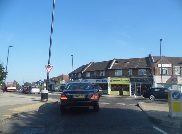
Galleries | A105 | Mason's Corner | Regulatory Sign/Give Way | Bollard | ||
File history
Click on a date/time to view the file as it appeared at that time.
| Date/Time | Thumbnail | Dimensions | User | Comment | |
|---|---|---|---|---|---|
| current | 09:36, 25 July 2016 | | 640 × 470 (47 KB) | C2r (talk | contribs) | '''Green Dragon Lane at the junction of Ridge Avenue''' The sign above the shop to the right of the picture proclaims one half of the junction's name |
File usage
The following 3 pages use this file: