File:James Street, Omagh - Geograph - 748998.jpg
Jump to navigation
Jump to search

No higher resolution available.
James_Street,_Omagh_-_Geograph_-_748998.jpg (640 × 480 pixels, file size: 53 KB, MIME type: image/jpeg)
| |||||||||||||||||||||||||
|
Galleries | A32 (Northern Ireland) | A5 (Northern Ireland) | Omagh | ||
File history
Click on a date/time to view the file as it appeared at that time.
| Date/Time | Thumbnail | Dimensions | User | Comment | |
|---|---|---|---|---|---|
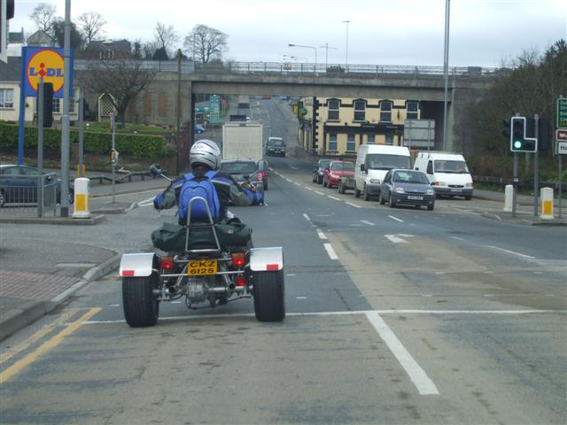
| current | 13:39, 8 December 2017 | | 640 × 480 (53 KB) | 2.96.51.71 (talk) | James Street, Omagh, heading south-west beneath the A5 flyover |
File usage
The following 3 pages use this file: