File:Junction 27, M8 - Geograph - 2778100.jpg
Jump to navigation
Jump to search

No higher resolution available.
Junction_27,_M8_-_Geograph_-_2778100.jpg (640 × 430 pixels, file size: 55 KB, MIME type: image/jpeg)
| |||||||||||||||||||||||||
|
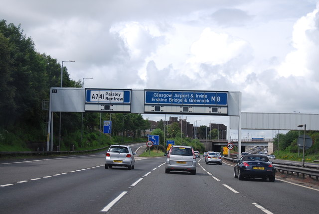
Galleries | M8 | Arkleston Interchange | Gantry Sign | Speed limit sign/40 mph | ||
File history
Click on a date/time to view the file as it appeared at that time.
| Date/Time | Thumbnail | Dimensions | User | Comment | |
|---|---|---|---|---|---|
| current | 15:22, 1 June 2016 | | 640 × 430 (55 KB) | Jeni (talk | contribs) | '''Junction 27, M8''' |
File usage
The following 2 pages use this file: