File:Junction of Seafield Road and Vernon Avenue, Clontarf - Geograph - 615650.jpg
Jump to navigation
Jump to search

No higher resolution available.
Junction_of_Seafield_Road_and_Vernon_Avenue,_Clontarf_-_Geograph_-_615650.jpg (640 × 480 pixels, file size: 135 KB, MIME type: image/jpeg)
| |||||||||||||||||||||||||
|
Galleries | R808 | Dublin | Traffic Signals | Bollard | Street Lighting | ||
File history
Click on a date/time to view the file as it appeared at that time.
| Date/Time | Thumbnail | Dimensions | User | Comment | |
|---|---|---|---|---|---|
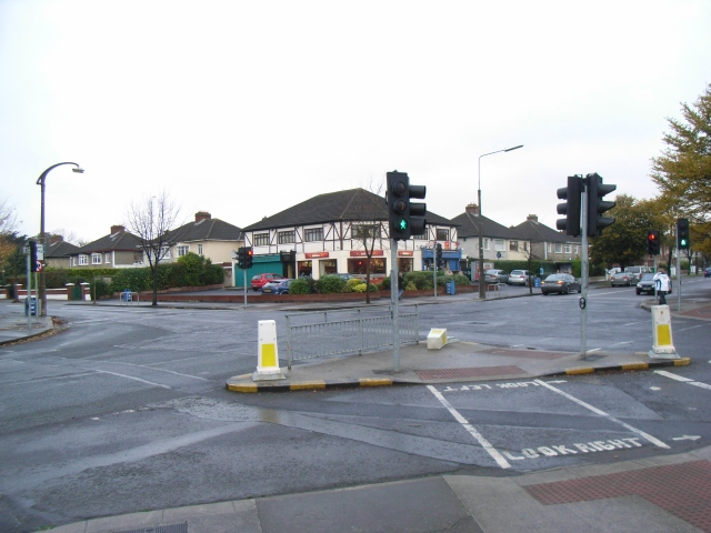
| current | 11:08, 28 May 2016 | | 640 × 480 (135 KB) | C2r (talk | contribs) | '''Junction of Seafield Road & Vernon Avenue, Clontarf''' The R808 meets a local road. Note the concrete street light to the left of the image. |
File usage
The following 2 pages use this file: