File:Looking back one last time - Geograph - 579294.jpg
Jump to navigation
Jump to search

No higher resolution available.
Looking_back_one_last_time_-_Geograph_-_579294.jpg (640 × 320 pixels, file size: 54 KB, MIME type: image/jpeg)
| |||||||||||||||||||||||||
|
Galleries | R566 | Skellig Ring | Wild Atlantic Way | ||
File history
Click on a date/time to view the file as it appeared at that time.
| Date/Time | Thumbnail | Dimensions | User | Comment | |
|---|---|---|---|---|---|
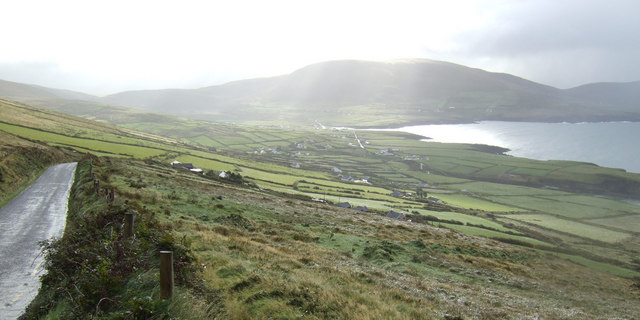
| current | 09:08, 14 May 2016 | | 640 × 320 (54 KB) | C2r (talk | contribs) | '''Looking back one last time''' Over Saint Finan's Bay before crossing yet another watershed and descending to Portmagee. |
File usage
The following 3 pages use this file: