File:Lux N339.jpg
Jump to navigation
Jump to search


Size of this preview: 799 × 599 pixels. Other resolution: 1,521 × 1,141 pixels.
Original file (1,521 × 1,141 pixels, file size: 856 KB, MIME type: image/jpeg)
| |||||||||||||||||||||||||
|
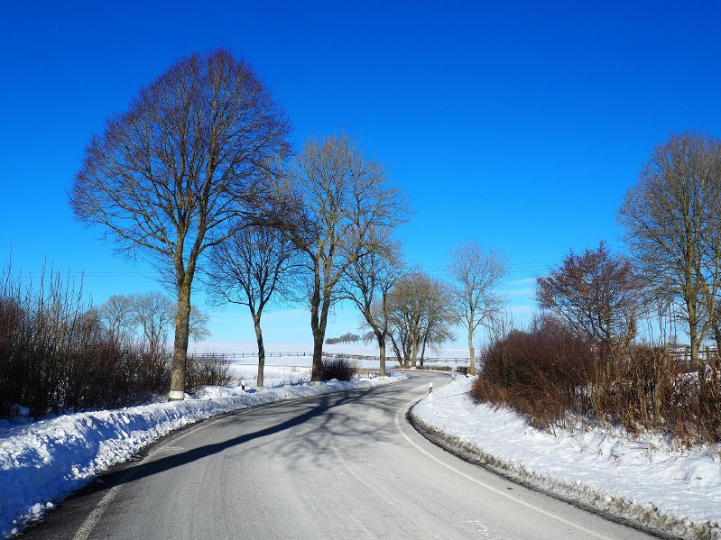
Galleries | CR339 (Luxembourg) | Photo of the Month February 2017 | Photo of the Month Winners | ||
File history
Click on a date/time to view the file as it appeared at that time.
| Date/Time | Thumbnail | Dimensions | User | Comment | |
|---|---|---|---|---|---|
| current | 16:19, 23 January 2017 | | 1,521 × 1,141 (856 KB) | Owain (talk | contribs) | The CR339 between Heinerscheid and Hupperdange in northern Luxembourg. |
File usage
The following page uses this file: