File:M60, Ashton-on-Mersey - Geograph - 2762263.jpg
Jump to navigation
Jump to search

No higher resolution available.
M60,_Ashton-on-Mersey_-_Geograph_-_2762263.jpg (640 × 480 pixels, file size: 359 KB, MIME type: image/jpeg)
| |||||||||||||||||||||||||
|
Galleries | M60 | Chester Road Interchange | CD Lanes | ||
File history
Click on a date/time to view the file as it appeared at that time.
| Date/Time | Thumbnail | Dimensions | User | Comment | |
|---|---|---|---|---|---|
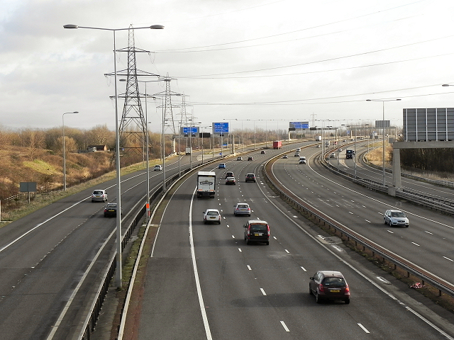
| current | 19:45, 1 June 2016 | | 640 × 480 (359 KB) | Jeni (talk | contribs) | '''M60, Ashton-on-Mersey''' Looking, from the suspension footbridge at Ashton-on-Mersey, along the M60 motorway, anti-clockwise, towards junction 7 for Stretford and Sale. |
File usage
The following 2 pages use this file: