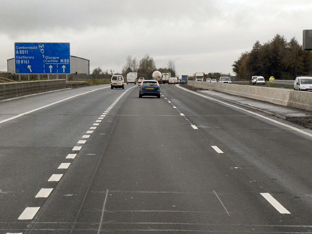
File:M80, Approaching Junction 6 - Geograph - 2683038.jpg
Jump to navigation
Jump to search

No higher resolution available.
M80,_Approaching_Junction_6_-_Geograph_-_2683038.jpg (640 × 480 pixels, file size: 160 KB, MIME type: image/jpeg)
| |||||||||||||||||||||||||
|
Galleries | M80 | Old Inns Junction | D2M | Transport Scotland | ||
File history
Click on a date/time to view the file as it appeared at that time.
| Date/Time | Thumbnail | Dimensions | User | Comment | |
|---|---|---|---|---|---|
| current | 19:09, 22 December 2011 | | 640 × 480 (160 KB) | Abeaton (talk | contribs) | M80, Approaching Junction 6 |
File usage
The following 3 pages use this file: