File:Middlepath Street, Belfast - Geograph - 1760873.jpg
Jump to navigation
Jump to search

No higher resolution available.
Middlepath_Street,_Belfast_-_Geograph_-_1760873.jpg (640 × 348 pixels, file size: 87 KB, MIME type: image/jpeg)
| |||||||||||||||||||||||||
|
Galleries | A2 (Northern Ireland) | T11 (Northern Ireland) | Belfast | Middlepath Street Interchange | ||
File history
Click on a date/time to view the file as it appeared at that time.
| Date/Time | Thumbnail | Dimensions | User | Comment | |
|---|---|---|---|---|---|
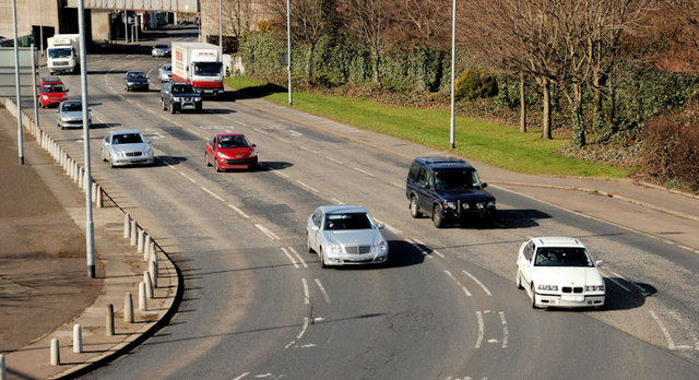
| current | 12:11, 21 March 2010 | | 640 × 348 (87 KB) | Jeni (talk | contribs) | '''Middlepath Street, Belfast'''<br/>Part of the route from the Queen Elizabeth Bridge <a href="http://www.geograph.org.uk/photo/587541">J3474 : The Queen Elizabeth Bridge, Belfast</a> to east Belfast and the signposted route to Downpatrick and Newcastle. |
File usage
The following 5 pages use this file: