File:Pauls Bridge, Cowbridge - Geograph - 3242903.jpg
Jump to navigation
Jump to search

No higher resolution available.
Pauls_Bridge,_Cowbridge_-_Geograph_-_3242903.jpg (640 × 426 pixels, file size: 79 KB, MIME type: image/jpeg)
| |||||||||||||||||||||||||
|
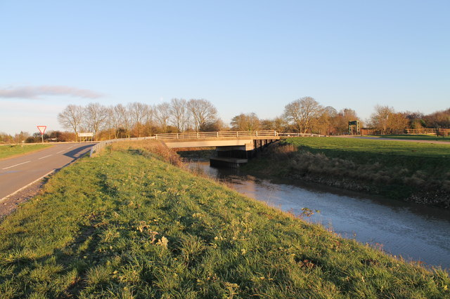
Galleries | B1183 | C837 (Lincolnshire) | Paul's Bridge | Pictures from Geograph | ||
File history
Click on a date/time to view the file as it appeared at that time.
| Date/Time | Thumbnail | Dimensions | User | Comment | |
|---|---|---|---|---|---|
| current | 11:18, 8 June 2020 | | 640 × 426 (79 KB) | C2r (talk | contribs) | '''Paul's Bridge, Cowbridge''' B1183 crosses Frith Bank Drain |
File usage
The following 4 pages use this file: