File:Port Erin - Shore Road wall and... (C) Joseph Mischyshyn - Geograph - 1687464.jpg
Jump to navigation
Jump to search

No higher resolution available.
Port_Erin_-_Shore_Road_wall_and..._(C)_Joseph_Mischyshyn_-_Geograph_-_1687464.jpg (640 × 427 pixels, file size: 93 KB, MIME type: image/jpeg)
| |||||||||||||||||||||||||
|
Galleries | Port Erin | ||
File history
Click on a date/time to view the file as it appeared at that time.
| Date/Time | Thumbnail | Dimensions | User | Comment | |
|---|---|---|---|---|---|
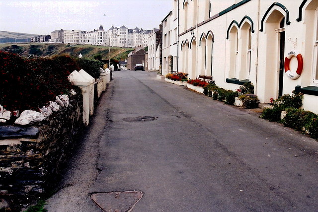
| current | 12:06, 18 June 2013 | | 640 × 427 (93 KB) | Si404 (talk | contribs) | '''Port Erin - Shore Road wall and... (C) Joseph Mischyshyn '''<br/>Shore Road leads to Port Erin Bay. View is to the north from near the south end of the road. The building to the near right has a life preserver on it marked<br /> "Water Edge". The b... |
File usage
There are no pages that use this file.
_Joseph_Mischyshyn_-_Geograph_-_1687464.jpg&oldid=347978)