File:The M1 near Moira (2) - Geograph - 300864.jpg
Jump to navigation
Jump to search

No higher resolution available.
The_M1_near_Moira_(2)_-_Geograph_-_300864.jpg (640 × 426 pixels, file size: 141 KB, MIME type: image/jpeg)
| |||||||||||||||||||||||||
|
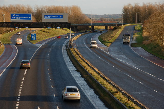
Galleries | M1 (Northern Ireland) | Moira Roundabout | ||
File history
Click on a date/time to view the file as it appeared at that time.
| Date/Time | Thumbnail | Dimensions | User | Comment | |
|---|---|---|---|---|---|
| current | 10:57, 16 June 2010 | | 640 × 426 (141 KB) | Si404 (talk | contribs) | '''The M1 near Moira (2)'''<br/>See <a href="http://www.geograph.org.uk/photo/195740">J1561 : M1 Moira (2)</a> and <a href="http://www.geograph.org.uk/photo/1638243">J1561 : The M1 at Moira</a>. This is the view towards the former from the Station Road b |
File usage
The following 4 pages use this file:
_-_Geograph_-_300864.jpg&oldid=185604)