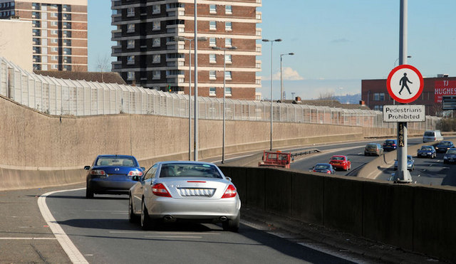
File:The Westlink, Belfast (14) - Geograph - 1731356.jpg
Jump to navigation
Jump to search

No higher resolution available.
The_Westlink,_Belfast_(14)_-_Geograph_-_1731356.jpg (640 × 371 pixels, file size: 73 KB, MIME type: image/jpeg)
| |||||||||||||||||||||||||
|
Galleries | A12 (Northern Ireland) | T3 (Northern Ireland) | E01 | Belfast | E18 | Regulatory Sign | ||
File history
Click on a date/time to view the file as it appeared at that time.
| Date/Time | Thumbnail | Dimensions | User | Comment | |
|---|---|---|---|---|---|
| current | 14:51, 3 March 2010 | | 640 × 371 (73 KB) | Jeni (talk | contribs) | The Westlink, Belfast (14) |
File usage
The following page uses this file:
_-_Geograph_-_1731356.jpg&oldid=338839)