File:Tongue-cswy1.jpg
Jump to navigation
Jump to search

Size of this preview: 799 × 306 pixels. Other resolution: 1,000 × 383 pixels.
Original file (1,000 × 383 pixels, file size: 73 KB, MIME type: image/jpeg)
| |||||||||||||||||||||||||
|
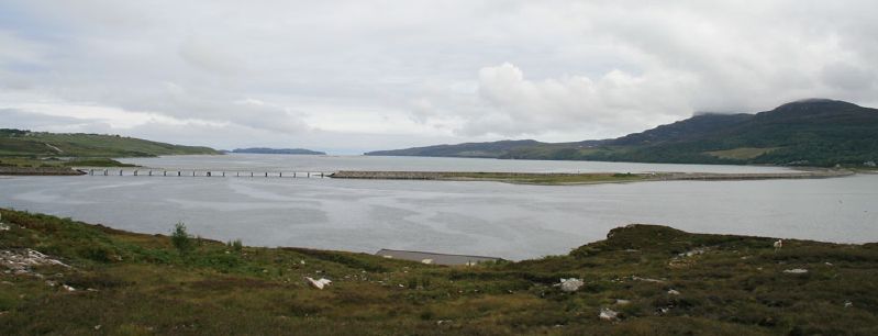
Galleries | A838 | Kyle of Tongue Causeway | North and West Highlands Route | NC500 | Tongue | ||
File history
Click on a date/time to view the file as it appeared at that time.
| Date/Time | Thumbnail | Dimensions | User | Comment | |
|---|---|---|---|---|---|
| current | 08:00, 11 August 2012 | 1,000 × 383 (73 KB) | Rileyrob (talk | contribs) | The full length of the Kyle of Tongue Causeway on the A838 |
File usage
The following 4 pages use this file: