File:Upper Clyde Valley - Geograph - 1135148.jpg
Jump to navigation
Jump to search

No higher resolution available.
Upper_Clyde_Valley_-_Geograph_-_1135148.jpg (640 × 480 pixels, file size: 64 KB, MIME type: image/jpeg)
| |||||||||||||||||||||||||
|
Galleries | A702 | A73 | Clyde Valley Tourist Route | Abington | Abington services | Maidencoates Roundabout | ||
File history
Click on a date/time to view the file as it appeared at that time.
| Date/Time | Thumbnail | Dimensions | User | Comment | |
|---|---|---|---|---|---|
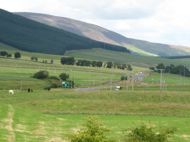
| current | 17:18, 20 August 2016 | | 640 × 480 (64 KB) | Si404 (talk | contribs) | '''Upper Clyde Valley''' View along the Upper Clyde Valley from the Abington Service Area. The roundabout in the middle distance is where the roads to Lanark and Biggar diverge. In the not too distant past there was no roundabout, just a fork in th... |
File usage
The following 5 pages use this file: