Gallery:A18 (Isle of Man)
From Roader's Digest: The SABRE Wiki
Jump to navigation
Jump to search
A Roads in the Isle of Man > A18 (Isle of Man)
This gallery has no child categories
A18 (Isle of Man)
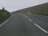
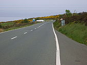
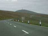
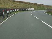
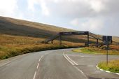
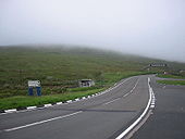
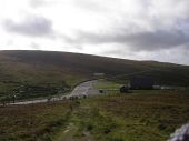
A18 - TT Course approaching Snaefell
Originally uploaded to Coppermine on Jan 20, 2009 by Danno B10M
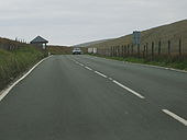
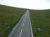
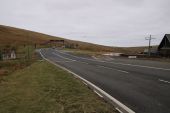
A18 - TT Course approaching Snaefell
Originally uploaded to Coppermine on Jan 20, 2009 by Danno B10M
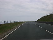
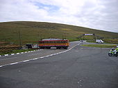
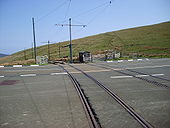
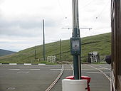
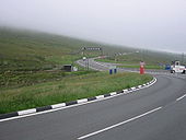
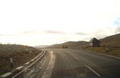
A18 - Level crossing at The Bungalow
Complete with tram and motorcycle cop.
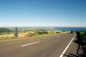
Originally uploaded to Coppermine on Jan 20, 2009 by Danno B10MA18 - View to southwest from near Windy... (C) Joseph Mischyshyn
View is from a parking area along the east side of A18.
View is from a parking area along the east side of A18.
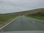
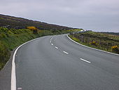
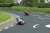
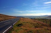
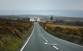
On the A18 Isle of Man Mountain Road -... (C) Phil Catterall
Photo shows the downhill road section approaching Windy Corner.
Photo shows the downhill road section approaching Windy Corner.
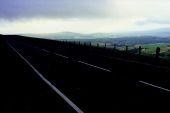
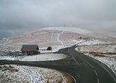
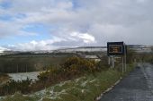
Snaefell from The Bungalow - Isle of Man (C) Jon Wornham
Snaefell living up to its name of 'Snow Mountain'. Quite unusually the Mountain Road was open in snow conditions allowing this picture, which was taken from the footbridge over the road - necessary when the road is closed for motorcycle racing.
Snaefell living up to its name of 'Snow Mountain'. Quite unusually the Mountain Road was open in snow conditions allowing this picture, which was taken from the footbridge over the road - necessary when the road is closed for motorcycle racing.
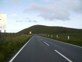
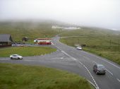
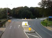
Junction of the Mountain Road and... (C) Neil Owen
Taken from the footbridge, here we can see the main road, the tram station on the left, the motorcycle museum on the hill (white buildings), and the 'Cloak of Mannanan' enshrouding the peak of Snae Fell. Incidentally, the TT riders follow the road off the mountain towards the footbridge and is one of the most iconic spots to spectate.
Taken from the footbridge, here we can see the main road, the tram station on the left, the motorcycle museum on the hill (white buildings), and the 'Cloak of Mannanan' enshrouding the peak of Snae Fell. Incidentally, the TT riders follow the road off the mountain towards the footbridge and is one of the most iconic spots to spectate.
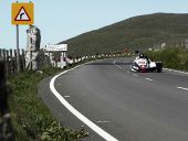
Sidecar racing at Brandywell (C) Paul McLaughlin
Looking North along A18 during Sidecar B race at TT 2005.
Looking North along A18 during Sidecar B race at TT 2005.
A18 road from Kate's Cottage to Creg-ny-Baa (C) Chris Gunns
The Mountain Road is Closed (C) Andy Stephenson
The scene on the TT course, looking back from the Creg ny Baa.
The scene on the TT course, looking back from the Creg ny Baa.
No fun today (C) David Long
Snow and ice on the night of March 3rd/4th caused the TT course's Mountain Road to be closed most of the day on the 4th.
Snow and ice on the night of March 3rd/4th caused the TT course's Mountain Road to be closed most of the day on the 4th.
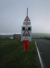
IOM A18 Snaefell Mountain Railway Microsense LC
View of LC.
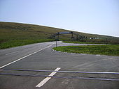
Originally uploaded to Coppermine on Jun 24, 2007 by FreddyTheFrogJunction and level crossing at The Bungalow
Originally uploaded to Coppermine on Jan 20, 2009 by Danno B10M
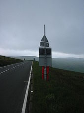
IOM A18 Snaefell Mountain Railway Microsense LC
View from tram heading downhill. Control panel can be seen on post which also carries overhead cable for tram.
Originally uploaded to Coppermine on Jun 24, 2007 by FreddyTheFrogIOM A18 Snaefell Mountain Railway Microsense LC
A18 is on the TT course which is why any sign posts are protected by cushons.
Originally uploaded to Coppermine on Jun 24, 2007 by FreddyTheFrogIOM A18 Snaefell Mountain Railway Microsense LC
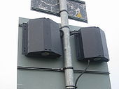
Wigwag
Originally uploaded to Coppermine on Jun 24, 2007 by FreddyTheFrogIOM A18 Snaefell Mountain Railway Microsense LC
Rear view of wigwag made from Microsense MSH aspects.
Originally uploaded to Coppermine on Jun 24, 2007 by FreddyTheFrogIOM A18 Snaefell Mountain Railway Microsense LC
Rear view of wigwag.
Originally uploaded to Coppermine on Jun 24, 2007 by FreddyTheFrog