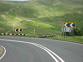
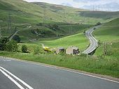
Gallery:A6

From Roader's Digest: The SABRE Wiki
Jump to navigation Jump to search
A1-A99 > A6


This gallery has no child categories
A6
 
 
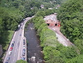
Matlock Bath - A6 and River Derwent view from Cable Car.jpg
Matlock Bath - A6 and River Derwent view from Cable Car
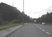
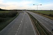
A6 Bypass - Geograph - 1196857.jpg
A6 Bypass
Slyne Road (A6) - Geograph - 1373671.jpg
Slyne Road (A6)
A6 at Barmoor Clough - Geograph - 252327.jpg
A6 at Barmoor Clough
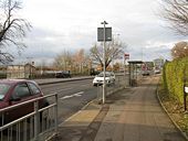
Clapham Road, Bedford - Geograph - 1074596.jpg
Clapham Road, Bedford
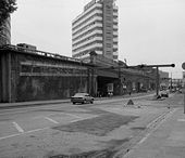
London Road, Manchester - Geograph - 696295.jpg
London Road, Manchester
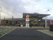
Leicester Services.jpg
Leicester Services
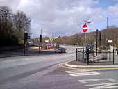
Major road junction - Geograph - 58190.jpg
The junction at Rising Sun
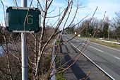
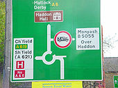
Erroneous A Road sign - Geograph - 689661.jpg
Erroneous A Road sign
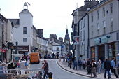
Busy street - Geograph - 406931.jpg
Busy street
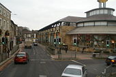
Lancaster Market - Geograph - 1089762.jpg
Lancaster Market
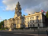
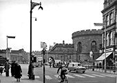
Stockport Town Hall - Geograph - 902204.jpg
Stockport Town Hall
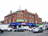
Betfred - Geograph - 449262.jpg
Betfred
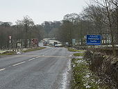
The A6 restarts - Geograph - 1642029.jpg
The A6 restarts
London Road, Manchester - Geograph - 1655361.jpg
London Road, Manchester
Early Worboys, A6 near Milnthorpe - Coppermine - 22609.jpg
Early Worboys, A6 near Milnthorpe

One of several old blue-edged signs on the old A6, this one is between Carnforth & Milnthorpe. SLightly blurred pic I'm afraid

Originally uploaded to Coppermine on Jul 06, 2009 by leopard680
Plenty of reading matter on the A6 - Geograph - 1692519.jpg
Plenty of reading matter on the A6
A6 at Bakewell - Coppermine - 22460.jpg
A6 at Bakewell

As featured in a recent WAI.

Originally uploaded to Coppermine on Jun 20, 2009 by Capsulk
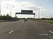
A50 westbound A6 gantry.jpg
Approaching the A6 junction, sliproad from Derby South services on the left.
Fairfield Road, Buxton - Geograph - 1715428.jpg
Fairfield Road, Buxton
Bakewell - Coppermine - 1708.jpg
Bakewell

The approach to Rutland Square, heading south on the A6. (There's actually a little mistake on this sign: any suggestions?)

Posted by Simon {A6(M)} on 9/19/2004

Originally uploaded to Coppermine on Apr 27, 2005 by M4Simon
Old Manchester 2. The A6 & the A580 - Coppermine - 236.jpg
Old Manchester 2. The A6 & the A580

It's the A6 & A580 before all the GS junctions where added. Originally uploaded to Coppermine on Apr 04, 2005 by Mediaman_12

This page includes a scan of a non-free copyrighted map, and the copyright for it is most likely held by the company or person that produced the map. It is believed that the use of a limited number of web-resolution scans qualifies as fair use under United States copyright law, where this web page is hosted, as such display does not significantly impede the right of the copyright holder to sell the copyrighted material, is not being used to generate profit in this context, and presents information that cannot be exhibited otherwise.
If the copyright holder considers this is an infringement of their rights, please contact the Site Management Team to discuss further steps.

Carlisle city centre - Geograph - 1731484.jpg
Carlisle city centre
Northward at Botchergate; Court House to right.
Barmoor Clough - 1959 - Geograph - 1450150.jpg
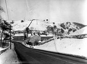
Barmoor Clough - 1959
Just a simple junction in those days. The road downhill and bearing left is the A6 to Chapel en le Frith, being joined by the A623 from Sparrowpit. Now the junction is a roundabout, none of the buildings on the far side of the junction now exist. At the time of the photo this road was not the A6, but the A624. The A6 main road from Buxton to Whaley Bridge was then routed to the west over Longhill.
Image003.jpg
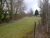
The once-mighty A6 near Sizergh, Cumbria, now part of a private garden.
A6-shap1.jpg
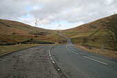
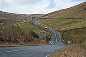
The A6 between Kendal and Shap summit
A6-shap2.jpg
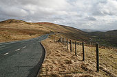
The A6 between Kendal and Shap summit
A6-shap3.jpg
The A6 between Kendal and Shap summit
Barrow upon Soar bridge - Geograph - 516703.jpg
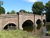
Barrow upon Soar bridge
This bridge carries Barrow Road across the River Soar.
London Road Bridge, Preston - Geograph - 1016162.jpg
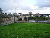
London Road Bridge, Preston
A6 Peahen - Coppermine - 3051.jpg
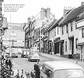
A5/A6 Peahen

Old picture when eggs were eggs and the A5 and A6 still went through St Albans

Originally uploaded to Coppermine on Aug 21, 2005 by Tom
A6 near Shap - Coppermine - 18935.jpg
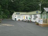
A6 near Shap

The once famous Jungle Cafe, about 1 mile south of Hucks Brow. It doesn't seem to have changed much from old pics, just a couple of new posh windows. Now a caravan dealers.

Originally uploaded to Coppermine on Jul 06, 2008 by SteveA30
A6 - Coppermine - 18828.jpg
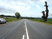
A6

Just south of Plumpton Head looking south

Originally uploaded to Coppermine on Jun 27, 2008 by Jack Russell
A6 bridge, Carnforth - Coppermine - 18382.JPG
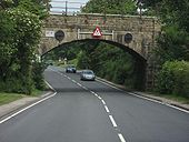
A6 bridge, Carnforth

Note the pre-Worboys sign on the left of the bridge.

Originally uploaded to Coppermine on Jun 10, 2008 by leopard680
A6 bridge, north of Carnforth - Coppermine - 18381.JPG
A6 bridge, north of Carnforth

Again, note the pre-Worboys sign to the left of the bridge.

Originally uploaded to Coppermine on Jun 10, 2008 by leopard680
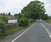
Old blue edged sign - Coppermine - 18380.JPG
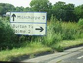
Old blue edged sign

Along the A6 between Carnforth and Shap summit there are still quite a few elderly road signs with the discontinued blue edge (including some with the thick blue edge which are even older). This one is, well, 3 miles south of Milnthorpe!

Originally uploaded to Coppermine on Jun 10, 2008 by leopard680
A6 Milnthorpe - Coppermine - 18379.JPG
A6 Milnthorpe Originally uploaded to Coppermine on Jun 10, 2008 by leopard680
Old sign Milnthorpe - Coppermine - 18378.JPG
Old sign Milnthorpe Originally uploaded to Coppermine on Jun 10, 2008 by leopard680
Leasgill - Coppermine - 18377.JPG
A6 Heaversham/Leasgill

Another blue-edged sign, at a rather drunken angle

Originally uploaded to Coppermine on Jun 10, 2008 by leopard680
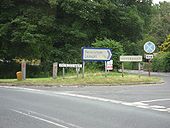
Leasgill - Coppermine - 18376.JPG
A6 Heaversham/Leasgill

Another old blue sign with the thick blue edge. i think that might be some old fashioned reflectors on the posts to the left too, but I wasn't able to stop for long as there was traffic behind

Originally uploaded to Coppermine on Jun 10, 2008 by leopard680
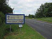
Meal Bank - Coppermine - 18375.JPG
Shap/Meal Bank

Climbing out Kendal there are a few moreold blue-edged signs (although one has been disappeared since my last trip and has not been replaced). This is a very old one with the thick blue edge.

Originally uploaded to Coppermine on Jun 10, 2008 by leopard680
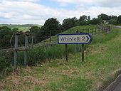
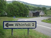
Whinfell sign - Coppermine - 18374.JPG
Whinfell sign

Another blue edged sign to Whinfell, with two skeletons of signs on the main A6 also visible. Not being a trunk route it's obviously not top priority to replace them. I don't mind - it adds to the olde worlde atmosphere!

Originally uploaded to Coppermine on Jun 10, 2008 by leopard680
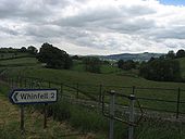
Whinfell sign looking south - Coppermine - 18373.JPG
Whinfell sign looking south

Kendal in the distance

Originally uploaded to Coppermine on Jun 10, 2008 by leopard680
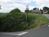
Blue edged sign - Garth Row - Coppermine - 18372.JPG
Blue edged sign - Garth Row Originally uploaded to Coppermine on Jun 10, 2008 by leopard680
A6, 2 x old blue edged signs - Coppermine - 18371.JPG
A6, 2 x old blue edged signs

Two for Whinfell visible here

Originally uploaded to Coppermine on Jun 10, 2008 by leopard680
A6 Shap. Viewing the climb ahead - Coppermine - 18370.JPG
A6 Shap. Viewing the climb ahead Originally uploaded to Coppermine on Jun 10, 2008 by leopard680
A6 climbing Shap - Coppermine - 18369.JPG
A6 climbing Shap

Climbing up the old Shap, sharp corners with old rusty crash barriers. Bags of atmosphere.

Originally uploaded to Coppermine on Jun 10, 2008 by leopard680
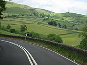
A6 climbing Shap - Coppermine - 18368.JPG
A6 climbing Shap

I love the undulating nature of the A6 here. I can imagine drivers seriously getting the foot down (as much as their vehicles of the day would allow) down this dip to get a run at the climb ahead

Originally uploaded to Coppermine on Jun 10, 2008 by leopard680
 
 
Page 1, 48 file(s) of 242 shown
Page 1 2 3 4 5 6

SABRE - The Society for All British and Irish Road Enthusiasts
Discuss - Digest - Discover - Help